Initiated by: Marjolijn Dijkman
Since 2021: Individual Research
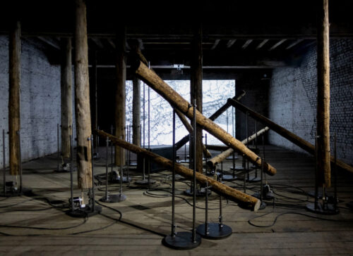
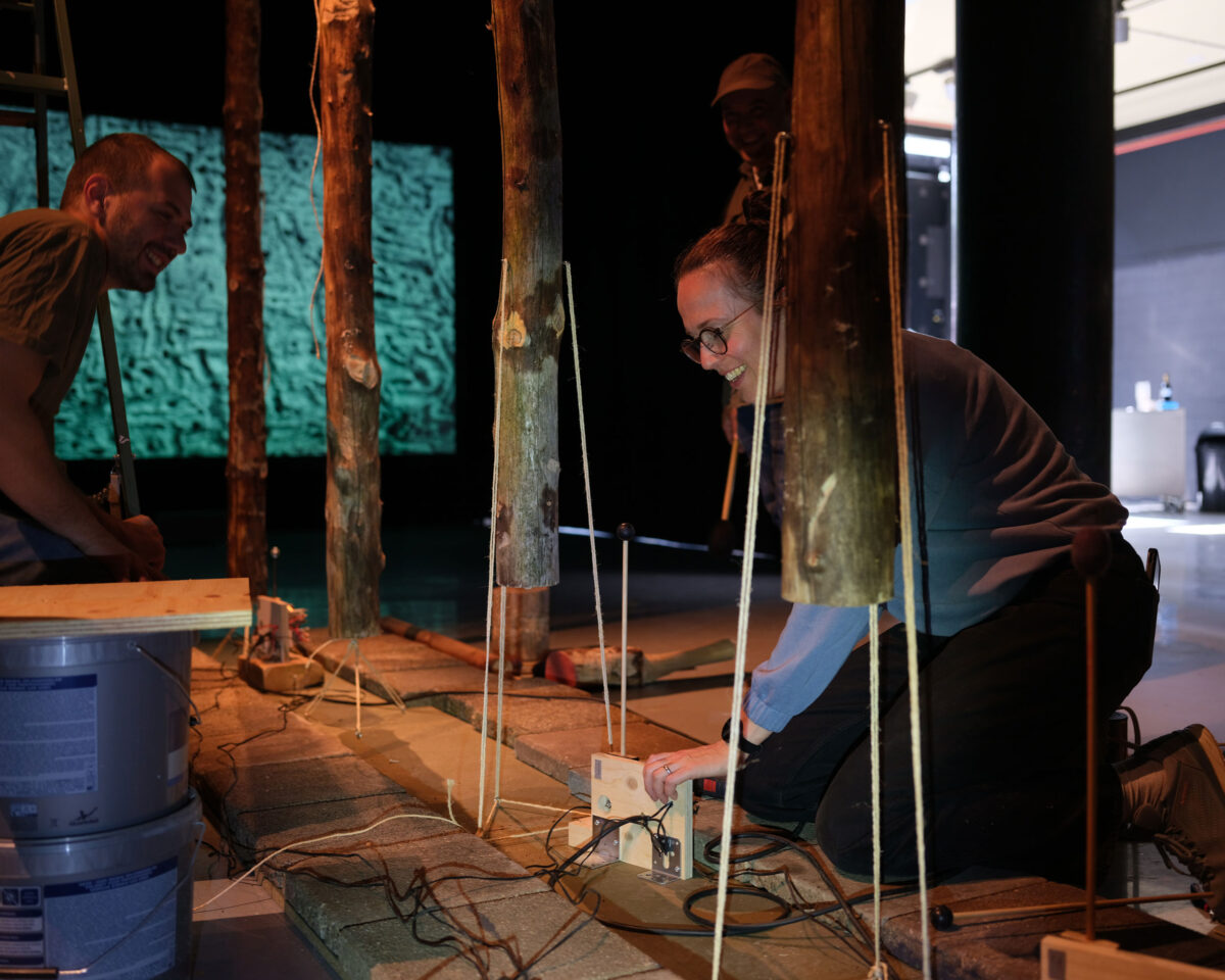
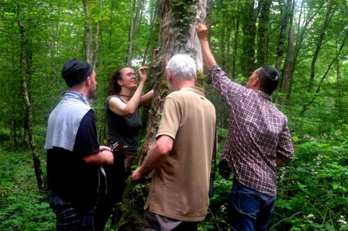
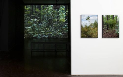
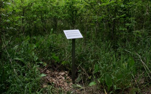
The research project ‘Between the Lines’ focuses on the catastrophic effects of drought and climate change in the forests of the Zone Rouge in the North East of France. It relates to the ongoing struggle to address the aftermath and remnants of the First World War amid the global climate crisis, which affected this particular landscape on a monumental scale.
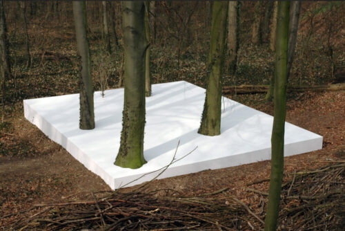
Germany donated spruces to reforest thousands of hectares of polluted landscape in the Zone Rouge in France as part of post-war restitution. They planted many monocropped Norway spruces in straight rows, following the scientific forest management system invented in Germany. These dense forests were intended to keep people out, creating a ‘Living Sarcophagus.’
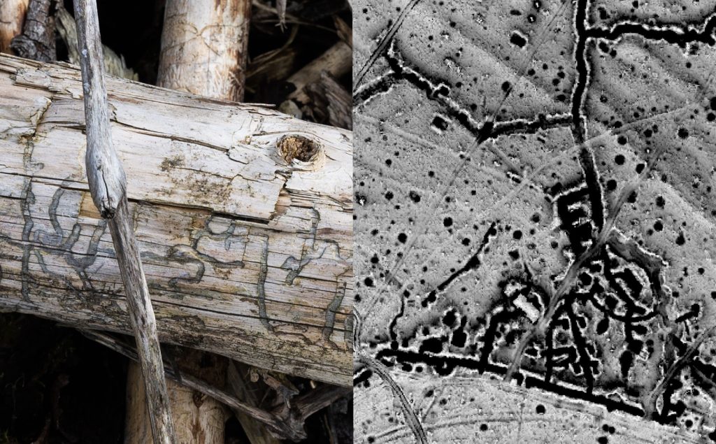
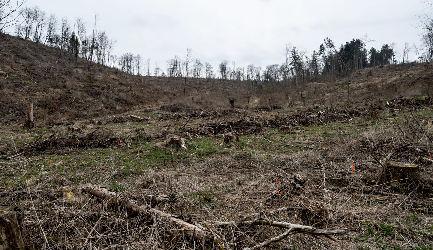
In the scorching summer of 2018 and 2019, a hundred years after WWI ended, the bark beetle Ips Typographus invaded these monoculture forests. The National Forestry Agency (ONF) has now cleared most of the infected areas. This is important to avoid forest fires, a dangerous and slow process, with abundant unexploded ordnance in the soil. The sanitized, barren, and reopened landscape symbolizes the consequences of the war, the industrialization of forest management, and the impact of the current climate crisis.
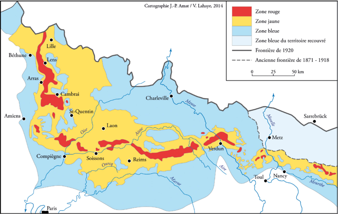
Context: Red Zone (Zone Rouge):
The 120,000-hectare Red Zone in France was defined by the French government after the war as “Completely devastated. Damage to properties: 100%. Damage to Agriculture: 100%. Impossible to clean. Human life impossible”.
After the First World War, nine villages and their surroundings in the part of the Red Zone around Verdun were sealed off completely, rendered death traps by unexploded ordnance, and contaminated beyond habitation by the arsenic, chlorine, and phosgene that the opposing armies aimed at each other. There are still over 80.000 lost soldiers buried in the ground who were never recovered.
There are estimates that about 12 – 15 million unexploded shells still reside in the soil and that this de-mining process will last another 300 to 700 years. The most feared are corroded artillery shells containing chemical warfare agents such as mustard gas.
French farmers constantly find unexploded ordnance and shrapnel when plowing their fields located on former battlefields around the Red Zone, a process that is called the ‘iron harvest’. The de-mining services in the North of France recover 20 – 40 tons of unexploded ordnance each year.
This research project is currently developed in partnership with V2_Lab for the Unstable Media (Rotterdam, NL); O. – Festival for Opera. Music. Theatre. (Rotterdam, NL); Vent des Forêts (Lorraine, FR); ONF Verdun (French National Forestry Agency)
Thanks to: Service Interministériel de Défense et de Protection Civile Français – Centre de déminage de Metz (Metz); Douaumont Ossuary (Douaumont-Vaux); Farmers who authorized the search for shrapnel on their land: Jerome Pierret (Apremont-la-Forêt), Dominique Biget (Apremont-la-Forêt), Yoann Philippot (Ailly-sur-Meuse); Jean-Paul De Vries (Romagne ’14-’18, Romagne-Sous-Montfaucon); Guillaume Rouard (Office National des Forêts Verdun); Erna Kampman (Histoires du Saillant de Saint-Mihiel); Isabelle Bergot (Le center de documentation – Mémorial de Verdun); Francis & Karian Marchal (Saint-Mihiel); Thomas Bee, Léa Delvallez, Axelle Grapinet, Elimane Sylla (Service Civique Saint-Mihiel), Lukas Pol (electro-technician, NL)
Supported by: Embassy of the Kingdom of the Netherlands, Paris, FR; Mondriaan Fund (Amsterdam, NL)