Initiated by: Marjolijn Dijkman
2005 - 2015: Individual Research
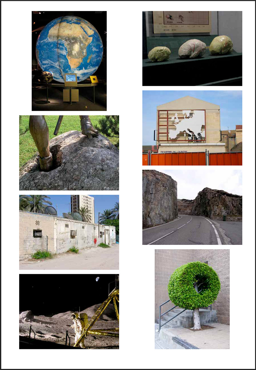
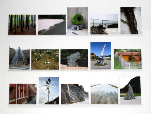
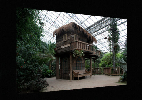
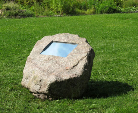
The research project Theatrum Orbis Terrarum looked at forms of representation of the Earth. At the basis is an ever-expanding collection of photographs, assembled since 2005, that observe how people organize their living environments across the world.
The title of the research project references the first modern atlas – a fifty-three-page set of maps covering the known world, compiled in book format by Abraham Ortelius in 1570. Ortelius was less a scientist or cartographer than a collector. His revolutionary achievement was combining a vast body of existing geographical knowledge and unifying it into a single, standardized format and logical system. For Ortelius, unlike his successors, cartography allowed the reader to envisage the stage upon which history occurred. The maps were accompanied by texts in which Ortelius provided the reader, ‘tired of traveling’ the globe, with a narrative description of the various regions, animating the abstract pictorial language of cartography with details about people, flora, fauna and produce, along with vivid stories about the fortunes and misfortunes people had endured in disparate places. The wealth of collected histories and myths was accounted for with another novelty: an extensive bibliography listing all the sources Ortelius had been able to bring together. His Theatrum Orbis Terrarum (Theatre of the World) was thus the first truly encyclopedic description of the world. The claim that the atlas was so comprehensive that it could be considered a mirror of the world resonates in a prefatory ode accompanying its 1598 abridged French edition: “This book by itself is the entire world; the entire world is but this book.”
Dijkman’s Theatrum Orbis Terrarum questions precisely this totalizing claim to knowledge of the Western cartographic tradition and the power over the world this knowledge implied. Her endeavor to assemble a collection of images of places is deliberately arbitrary and subjective. Though the photographs are taken around the world, they don’t claim to cover or represent the entire globe but are occasioned by what she encounters on her travels as she wanders around the places she is invited to. Like the counter-geography of the Situationists, the images, all taken at street level, do not suggest an omniscient, God-like perspective on the world but are located within it. The atlas introduced a particular and highly selective form of representation that helped set the stage for particular kinds of relations to the world – while simultaneously claiming to be mere descriptions.
_
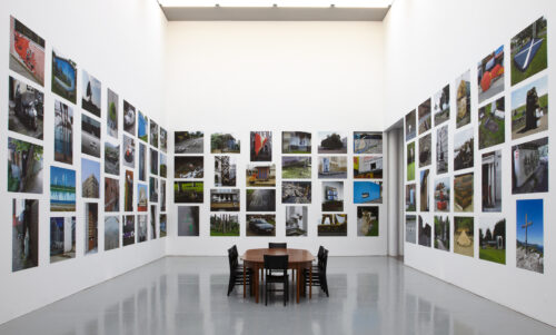
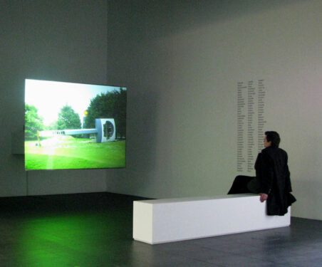
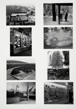
The research project Theatrum Orbis Terrarum manifested itself in different public forms. Besides presentations of the ongoing photographic archive assembled from 2005 – 2015, I also (co-)organized workshops and presentations. You can find more information here:
Localisms, two workshops, and an exhibition at Museum De Paviljoens, Almere, NL (2007 – 2008)
Localisms focused on the poetry in the street, the discovery of the (urban) landscape, unnoticed sounds, the investigative look, archives of image and sound, wanderlust, and colonial history. The artists and designers participating in Localisms share a common interest in the singularities and peculiarities of specific locations. Two workshops leading up to the exhibition explored similarities and differences in artists’ approaches towards particular daily encounters with our surroundings. They questioned how to deal with collections of photographic observations.
Formatting Utopia, Mundaneum, Mons, BE (organized together with Annette Schemmel) (2008)
Formatting Utopia explored the potentials and pitfalls of the internet and its formats for knowledge organization at the Mundaneum. The way information is organized and presented is influential in the way we perceive and understand the world.
Theatrum Orbis Terrarum
Publications:
Theatrum Orbis Terrarum, published by IKON Gallery, UK, 2011
Theatrum Orbis Terrarum – Journal (pdf), Published by the University of California, Berkeley Art Museum and Pacific Film Archive, US, 2010